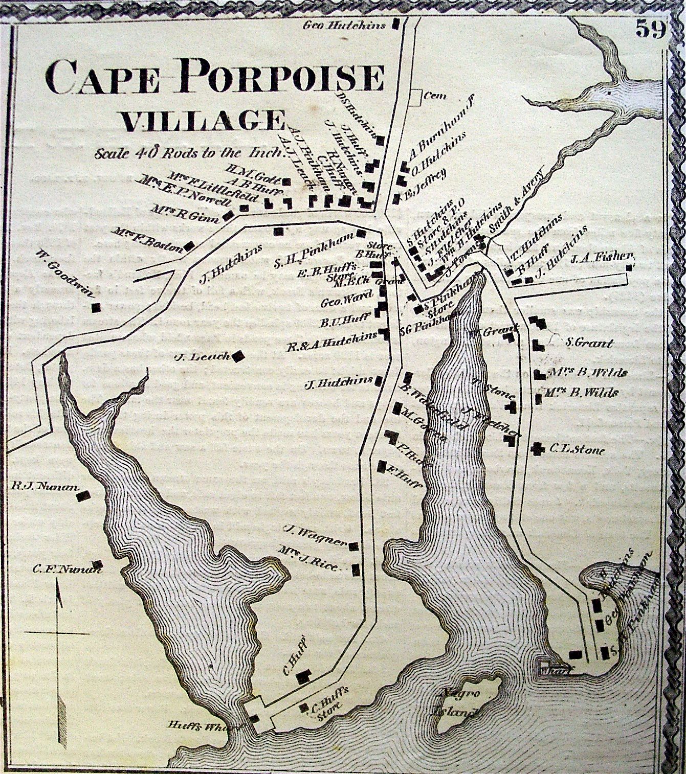
Home Stage Island Gosnold Sects and the Settlement Battle of Cape Porpoise Goat Island Light 1872 Cape Porpoise Map Tyler Brook Old News Columns New Historical Research
|
Home Stage Island Gosnold Sects and the Settlement Battle of Cape Porpoise Goat Island Light 1872 Cape Porpoise Map Tyler Brook Old News Columns New Historical Research |
Tyler Brook Cape Porpoise, Maine
James Tyler
Tyler Brook, formerly known as Stepping Stone Creek, is named after James Tyler who was granted 40 acres along the Northern side of the brook by the Town of Arundell in 1719/20. Bradbury says, on page 281, that James Tyler "came to this town about 1715. He changed his place of residence several times after 1720, but finally settled in Scarborough. He sold land in that town in 1723 to Samuel Preble, "for and in consideration of one Negro man". Mr. Tyler was probably the son of Abraham Tyler, who died at Haverhill in 1673, as he had one son Abraham who married Elizabeth Brown of Arundel. Abraham lived in Scarborough to the age of 100 years. James. while in this town, at first lived opposite the present (1837) dwelling house of Seth Grant, (Pier Rd) but afterward lived at Tyler's Brook. The rock that formed one side of his house, is still called Tyler's Back. Elizabeth, daughter of Abraham, married Allison Brown, son of Andrew 3d of Arundel". Others claim James Tyler was the son of Moses Tyler of Rowley, Mass. James Tyler did not remain in Arundell for long but he did have a mill on Tyler Brook and one on Kennebunk River.
The following entry appears on page three of the Town Book. "1719 A highway to begin at or near stepping stone and to run up on the south side of James Tyler's mill at or near the place where John Badson's old way went over by the next beaver dam at the head of James Tyler's mill pond and so up into the country to Kennebunk falls"
If you look closely at Tyler Brook on the Google Map below, you will see a widening of the brook behind the dump on Beachwood Road. I do not know if this widening always existed but it would be the logical place to put a mill and could be construed as a mill pond. There should be evidence of a road on the south side of Tyler Brook. Maybe Jim knows of the road.
Lot Locations based on Julien Howard map and Ruth Landon notes.
Stephen Batson and his heirs
Long before James Tyler came to Arundell, Stephen Batson and his heirs owned land on the southern bank of Stepping Stone Creek, west of rte 9 and on both sides of Stepping Stone Creek east of rte 9.
The 1662 deed refers to a log cabin at the western boundary of Stephen Batson's S-3 along the creek. The Google map above shows the lot where the blue line for Batson's lot is across the creek from Tyler's lot. According to the description of the road on page three of the town book above, the log cabin should have been near where they later built the road on the southern side of the creek/brook.